OUR PROJECTS
Land Registration & Cadastre System for Sustainable Agriculture Project
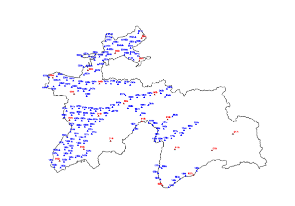
Tajikistan's GNSS cadaster system largely developed through the World Bank-funded Land Registration & Cadastre System for Sustainable Agriculture Project (LRCSP) (around 2005-2012+), establishing a national geodetic network using GPS/GNSS, creating digital orthophotos (IKONOS, WorldView), and training local specialists (like at the "Fazo" Institute) to produce accurate digital cadastral maps (e.g., 1:5000 scale) using software like ArcMap, modernizing land administration from paper to digital for secure tenure and efficient land management.
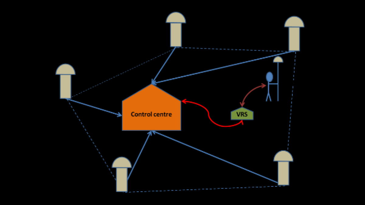
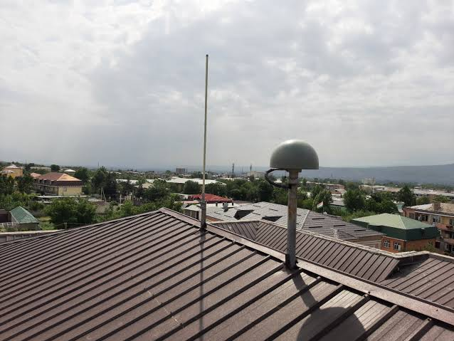
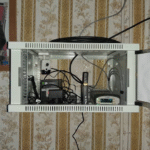
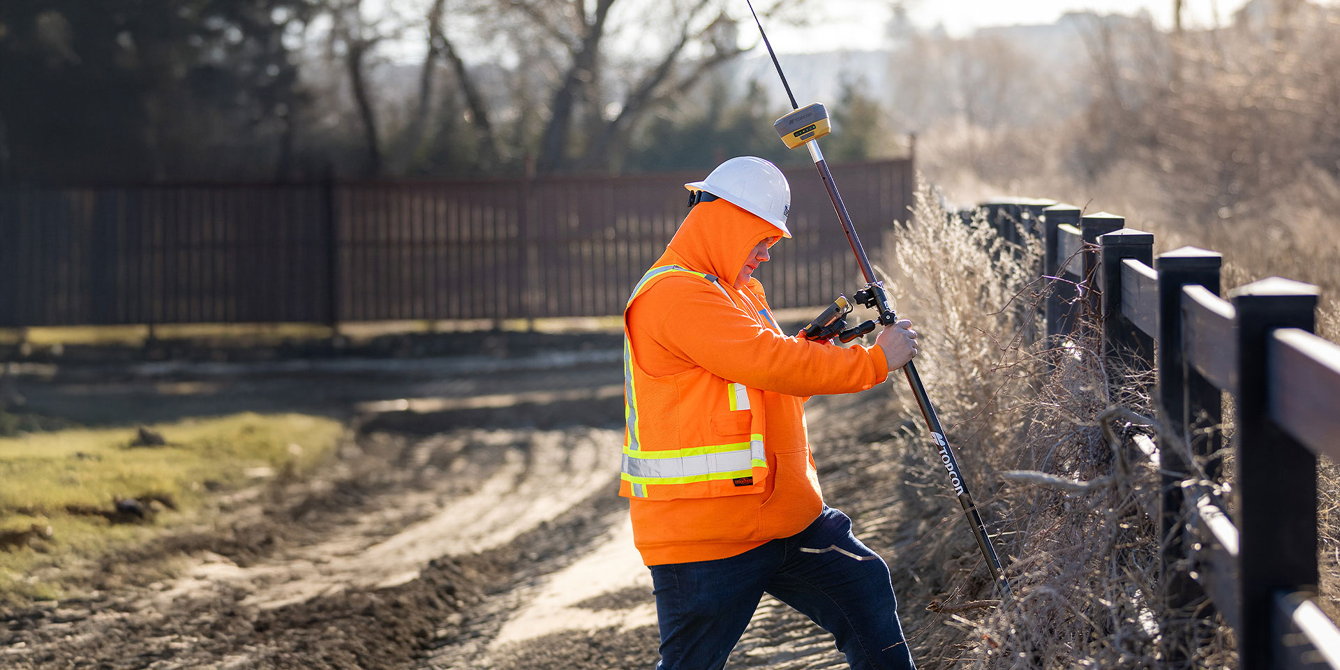
Key Components & Technologies: Geodetic Network: A new, dense national geodetic network was established using GPS technology for precise positioning.
Satellite Imagery: High-resolution data (IKONOS, QuickBird, WorldView) was used to create digital orthophoto maps, crucial for mapping mountainous terrain where aerial photography was difficult.
Software & Training: Local experts at the "Fazo" Institute and Cadastral Centers received training in modern mapping tech (photogrammetry, GNSS) and used GIS software (like ArcMap) for digital map production.
Project Goals: To support land reform, secure land rights, and modernize the property registration system for rural populations.
Impact: Improved transparency and efficiency in land allocation. Creation of accurate, standardized digital cadastral maps. Enhanced capacity within Tajikistan's land management agencies (ALMGC).
Procurement of High Resolution Digital Satellite Imagery
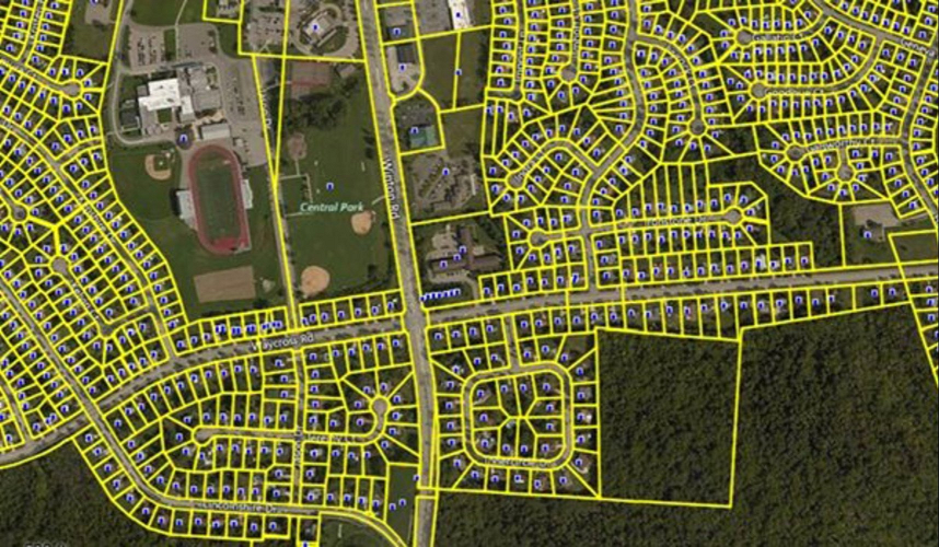
Digital cadastral maps help clearly define land boundaries and ownership rights. They reduce disputes between people and make property information more transparent. Farmers can use these maps to plan land use better and improve agriculture. The government also benefits by managing land more effectively and building roads or other facilities. In the end, these maps are an important tool for economic growth and improving people’s lives.
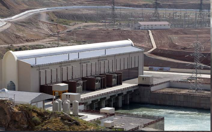
The Sangtuda-1 Hydropower Plant dam monitoring project
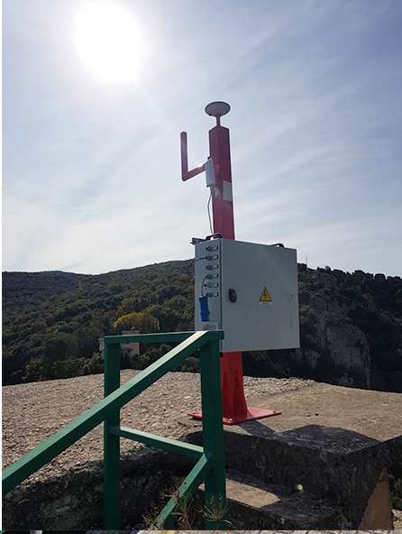
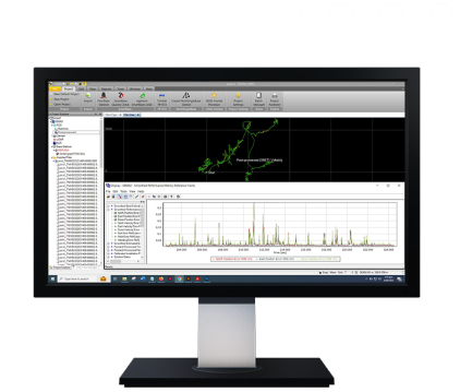
Project Overview Main goal — to establish continuous observation of the dam and other structures of the station in order to prevent emergency situations. Context: Sangtuda HPP-1 is one of the largest hydropower plants in Tajikistan, located on the Vakhsh River, with a capacity of 670 MW. Technologies: the monitoring system uses digital accelerometers and velocimeters to detect even the slightest vibrations and changes in the structure. Project tasks: monitoring the stability of the dam; analyzing the impact of earthquakes on the structures; increasing the level of safety for the population and the energy infrastructure. Project Significance Ensures stable operation of the station, which plays a key role in the country’s energy supply. Enhances protection against natural risks in a seismically active region. Creates a database for long-term analysis and forecasting of the condition of hydraulic structures.